The InteLAS™ (Integrated LiDAR Acquisition System) mobile mapping system represents
the very latest in dynamic geospatial data collection technology. The system comes
fully calibrated and ready to operate, complete with its own 3D data acquisition
and visualisation software.
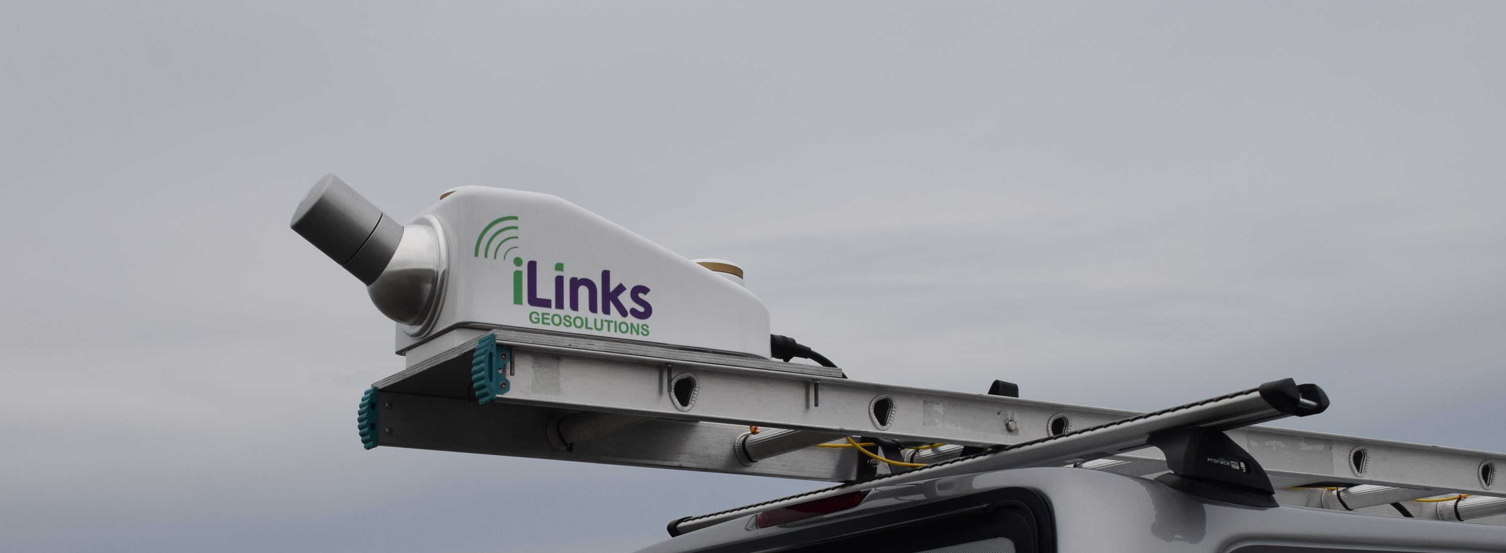 InteLAS mounted on a vehicle of opportunity
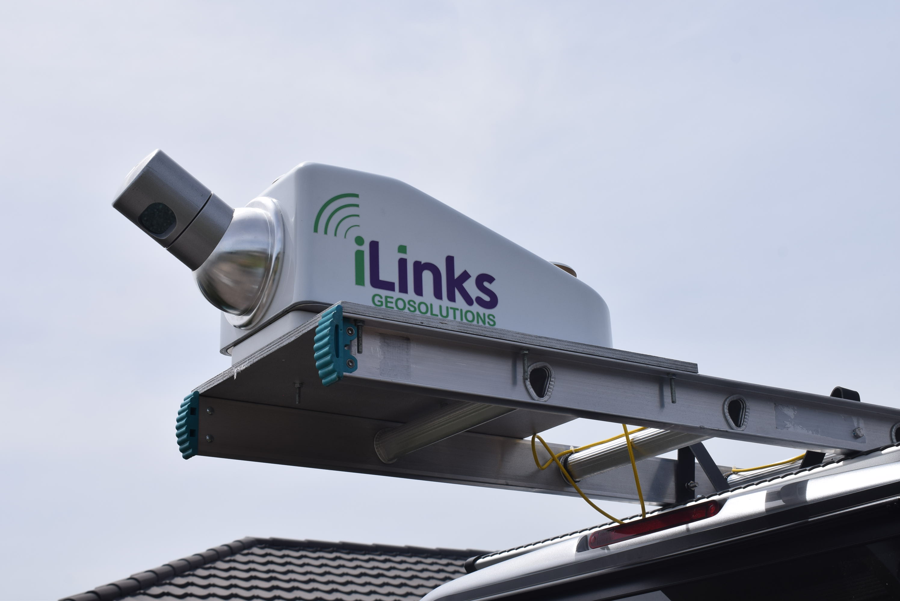 InteLAS mounted on a vehicle of oppurtunity
 InteLAS mounted on a vessel of opportunity
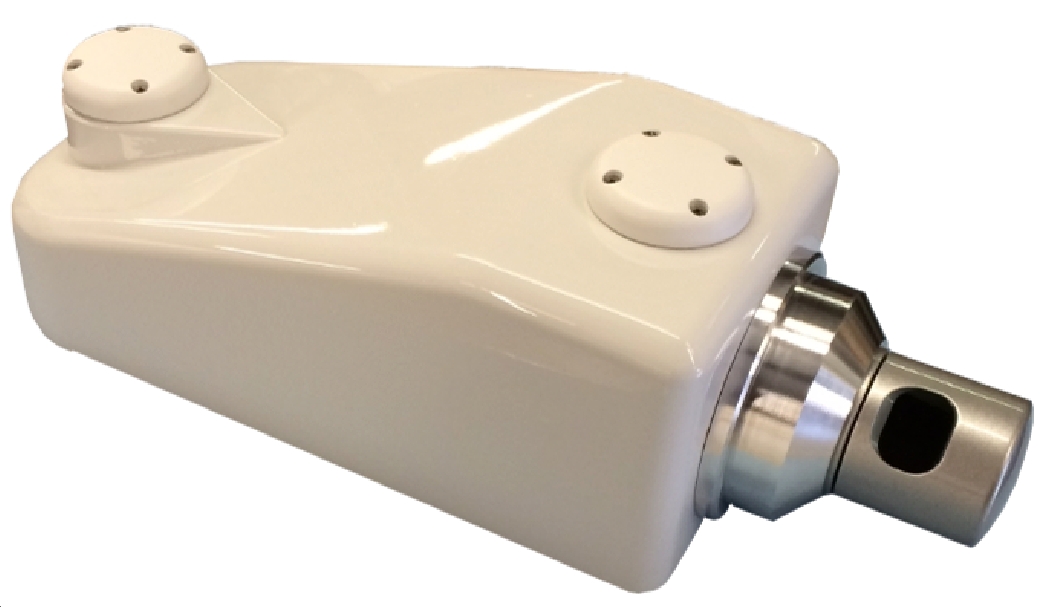 InteLAS
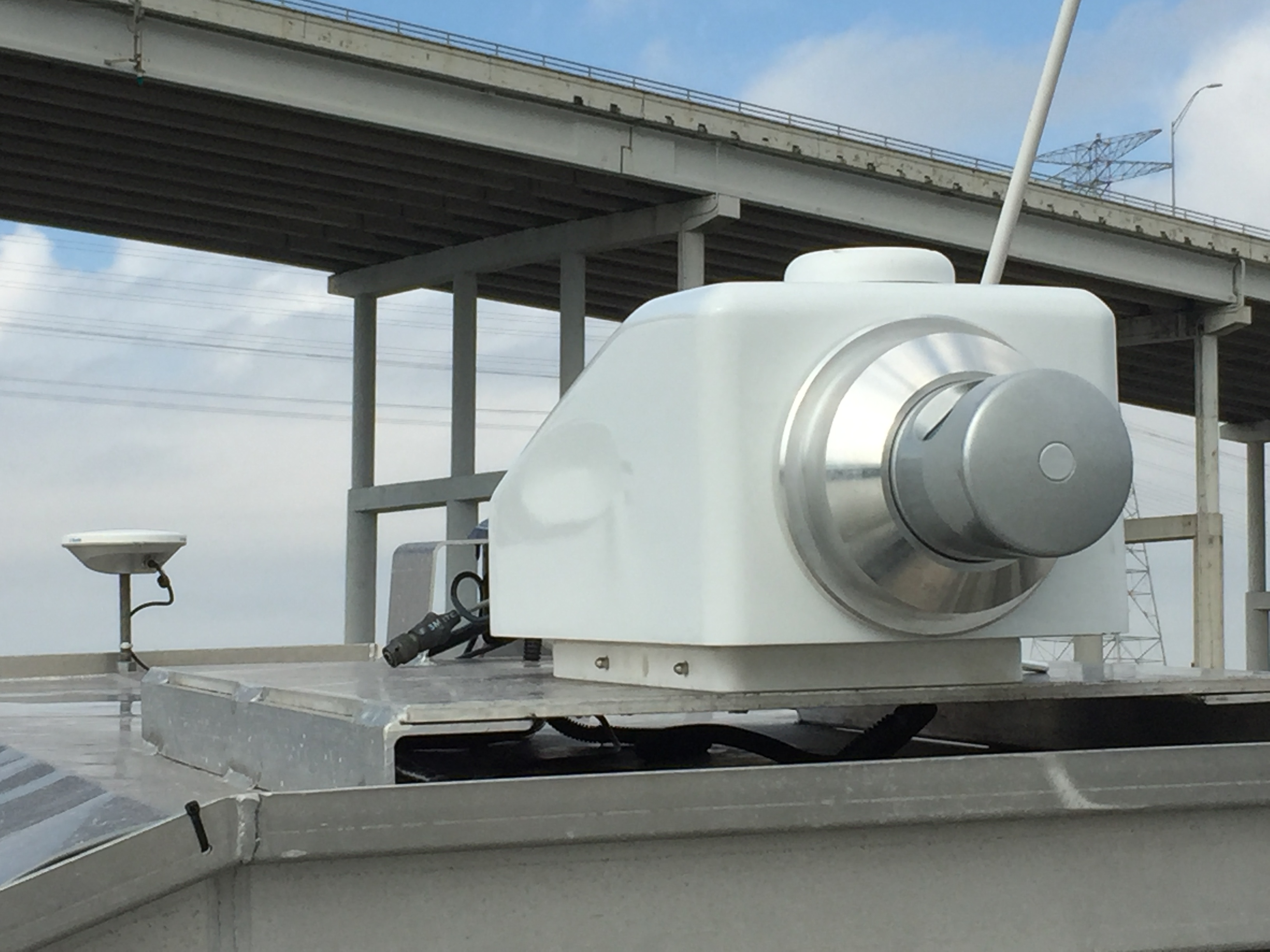
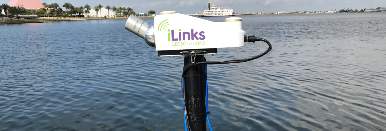 InteLAS mounted on multibeam pole
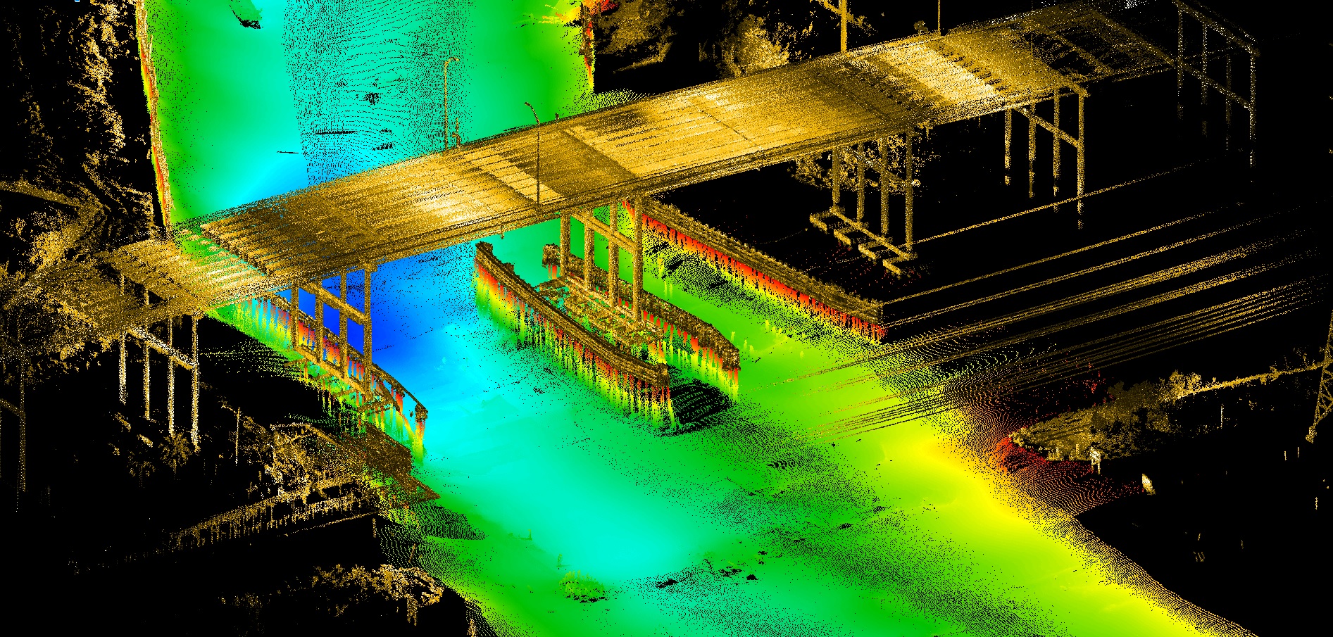 InteLAS data combined with multibeam data
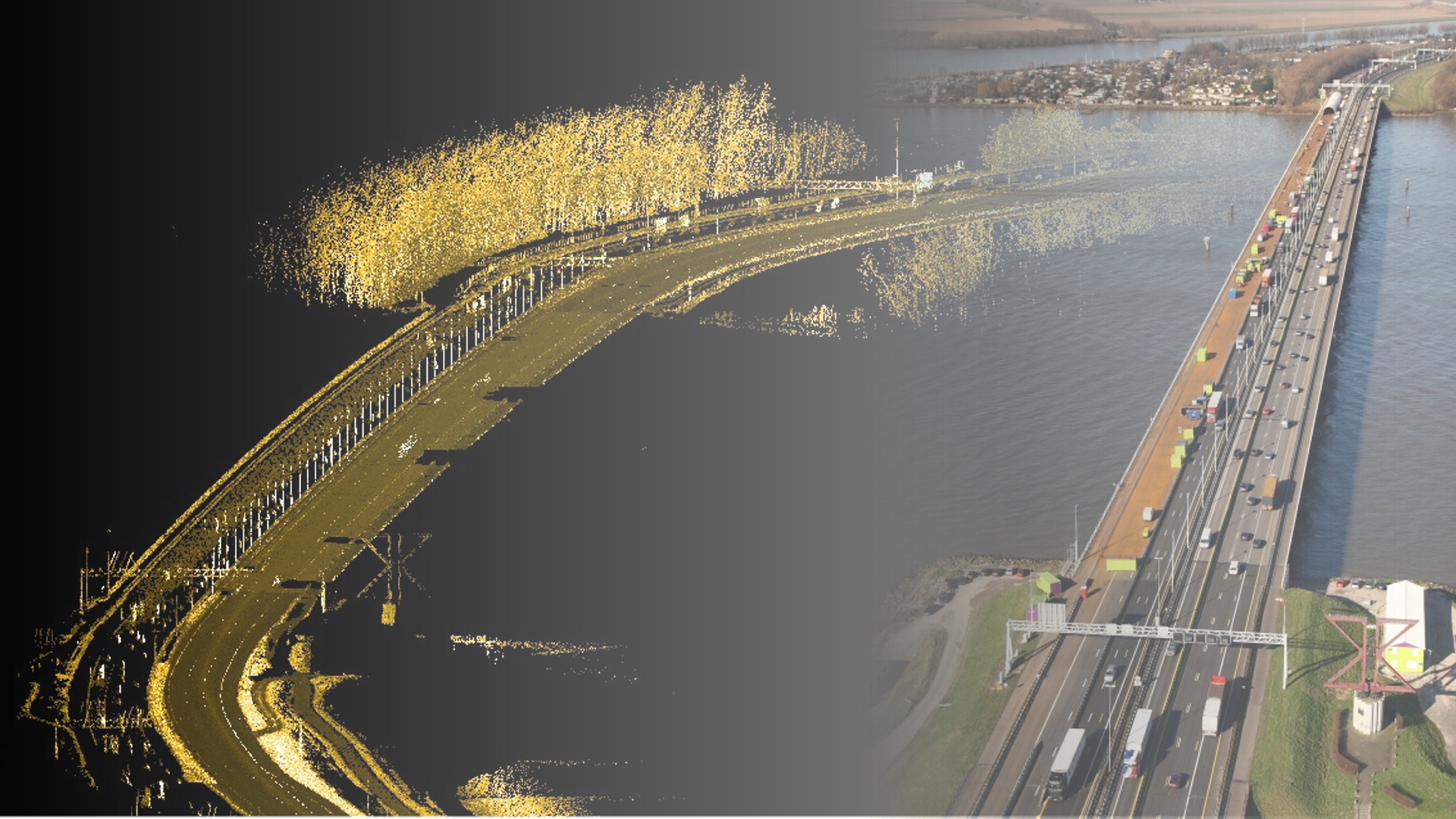 InteLAS data next to photo of real-world scene
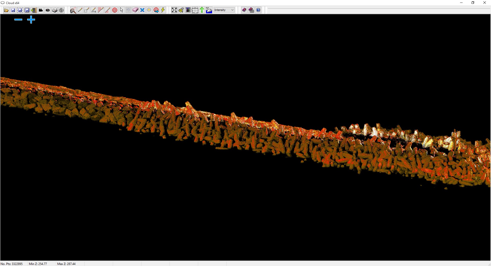
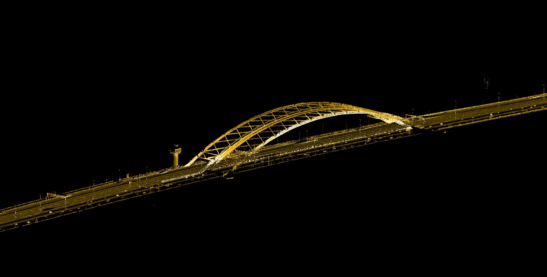 Real-time collected data at highway speed
 InteLAS data combined with multibeam data
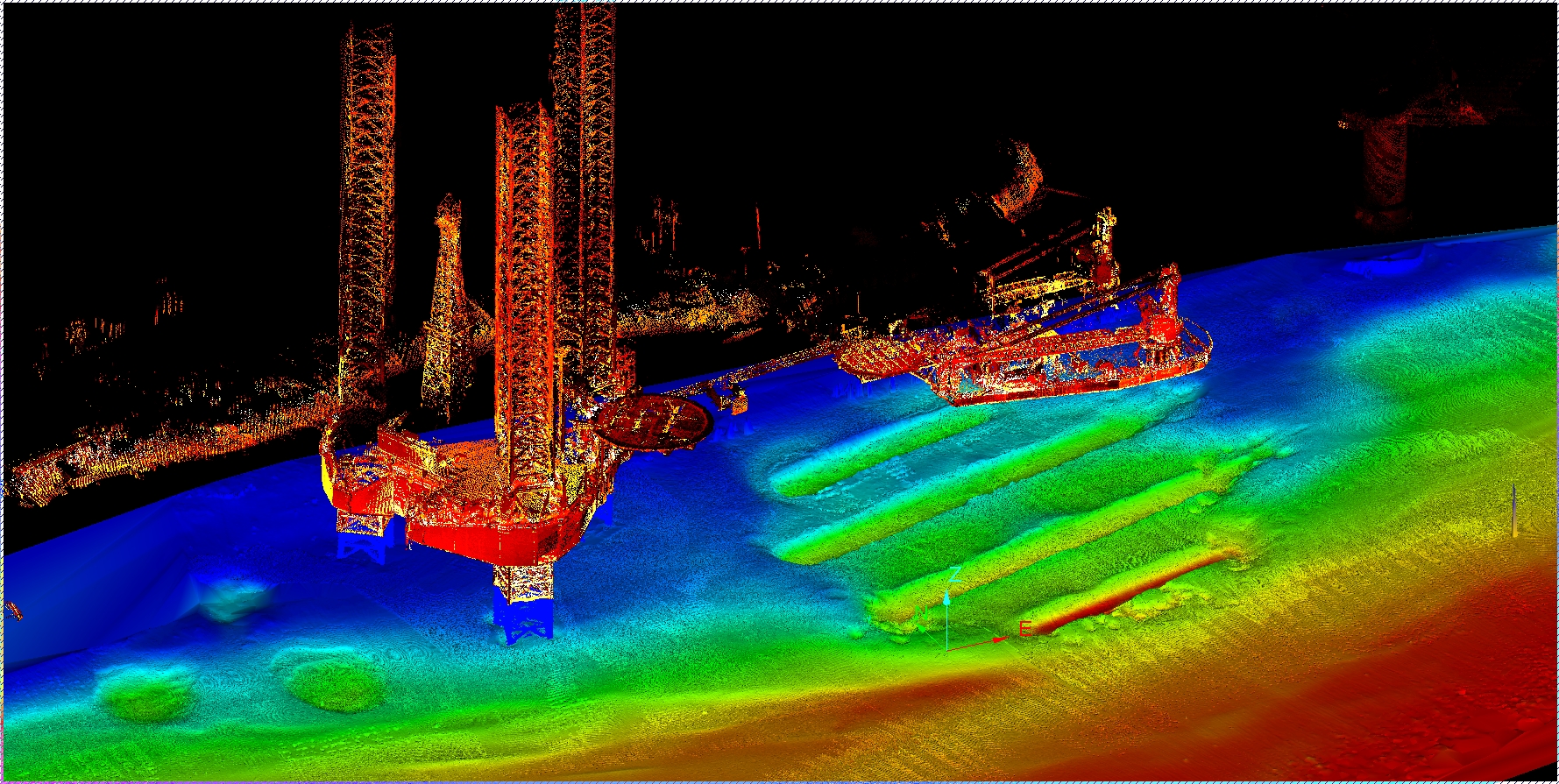
 InteLAS data collected from vessel
Key Features
- 700,000 points per second
- Integrated GNSS, IMU, FOG
- Requires no user calibration
- Survey speeds up to 70 mph
- No post processing required
Detailed Overview
Delivering up to 700,000 data points per second, the system can be used at near
highway speeds and is ideally suited to any number of applications including highway
planning, bridge height and width, asset management, railroad surveys, corridor
mapping, power line surveys, pipeline surveys, volumes and much more.
The compact form factor and light weight of the InteLAS™ allows the system to be
fitted to almost any type of mobile platform in a matter of minutes. The system has
been designed to be simple to mobilise and easy to operate without the need for
specialised training or qualifications. Being able to rapidly acquire accurate
geospatial data in real time, without the need for post processing, not only offers
cost and efficiency benefits to existing operations, it also helps create new
business and market opportunities.
The InteLAS™ is delivered as a fully calibrated ready-to-go mobile mapping
system, complete with PC and software. The system requires no user calibration or
configuration and can be mounted on any type of mobile platform and be ready to
acquire accurate 3D geospatial data within minutes.
Technical Specifications
- 32 laser/detector pairs (905nm Class-1 Eye Safe)
- Horizontal Field of View: +10.67° to −30.67°
- Vertical Field of View: 360°
- Range: 1m to typically 80m – 100m
- Accuracy < 2cm (1σ at 25m)
- Pitch Accuracy: 0.015°
- Roll Accuracy: 0.015°
- Heading Accuracy (Stand Alone): 0.050°
- Heading Accuracy (External Antenna – 1m Baseline): 0.030°
- Heading Accuracy (External Antenna – 2m Baseline): 0.020°